2017
NT1949 : Track in Grassfield Forest
taken 7 years ago, near to Halmyre Mains, Scottish Borders, Scotland
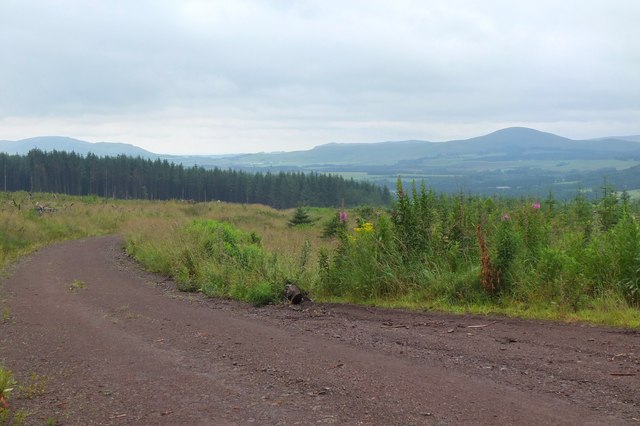
Track in Grassfield Forest
Plantations at different stages of maturity, with Mendick Hill (451m) prominent on the skyline.
 Map © Crown Copyright")
TIP: Click the map for more Large scale mapping
- Grid Square
- NT1949, 6 images (more nearby 🔍)
- Photographer
- Jim Barton (more nearby)
- Date Taken
- Sunday, 23 July, 2017 (more nearby)
- Submitted
- Sunday, 23 July, 2017
- Subject Location
-
OSGB36:
 NT 1936 4991 [10m precision]
WGS84: 55:44.1506N 3:17.1478W - Camera Location
-
OSGB36: NT 1945 4992
- View Direction
- WEST (about 270 degrees)