2017
SS7394 : Port Talbot : The A48
taken 7 years ago, near to Briton Ferry, Neath Port Talbot/Castell-Nedd Port Talbot, Wales
This is 1 of 2 images, with title Port Talbot : The A48 in this square
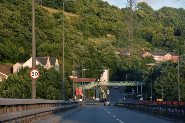
Port Talbot : The A48
Heading towards Port Talbot on the A48 road.
 Map © Crown Copyright")
TIP: Click the map for more Large scale mapping
- Grid Square
- SS7394, 45 images (more nearby 🔍)
- Photographer
- Lewis Clarke (more nearby)
- Date Taken
- Sunday, 23 July, 2017 (more nearby)
- Submitted
- Monday, 24 July, 2017
- Subject Location
-
OSGB36:
 SS 7382 9405 [10m precision]
WGS84: 51:37.8641N 3:49.4682W - Camera Location
-
OSGB36: SS 7381 9406
- View Direction
- Southeast (about 135 degrees)