2017
SO3579 : Road to Cwm
taken 7 years ago, near to Purslow, Shropshire, England
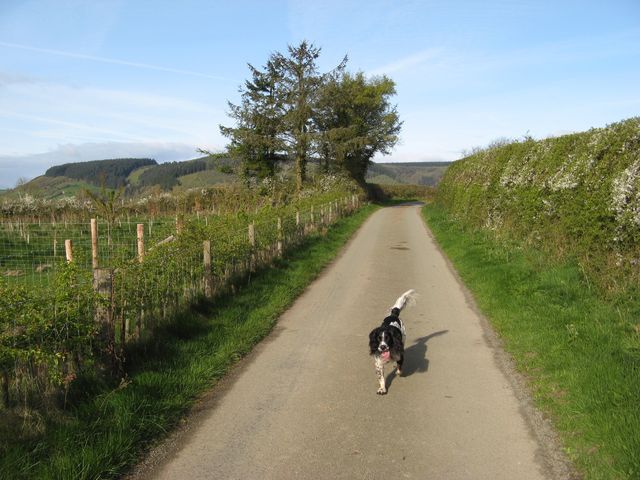
Road to Cwm
Interesting patterns of usage can be seen in the roads of the area, with obvious routes truncated or down-graded to "Other Routes with Public Access" (see also SO3379 : Lane to Rockhill). My assistant Madog is pleased to be off his lead at last!
 Map © Crown Copyright")
TIP: Click the map for more Large scale mapping
- Grid Square
- SO3579, 14 images (more nearby 🔍)
- Photographer
- Jonathan Wilkins (more nearby)
- Date Taken
- Saturday, 15 April, 2017 (more nearby)
- Submitted
- Monday, 24 July, 2017
- Subject Location
-
OSGB36:
 SO 3504 7957 [10m precision]
WGS84: 52:24.6155N 2:57.3843W - Camera Location
-
OSGB36: SO 3507 7957
- View Direction
- WEST (about 270 degrees)