2017
SK6400 : Farmland and bales on the eastern edge of Oadby
taken 7 years ago, near to Stoughton, Leicestershire, England
This is 1 of 9 images, with title starting with Farmland in this square
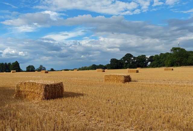
Farmland and bales on the eastern edge of Oadby
 Map © Crown Copyright")
TIP: Click the map for more Large scale mapping
- Grid Square
- SK6400, 48 images (more nearby 🔍)
- Photographer
- Mat Fascione (more nearby)
- Date Taken
- Sunday, 23 July, 2017 (more nearby)
- Submitted
- Tuesday, 25 July, 2017
- Subject Location
-
OSGB36:
 SK 640 006 [100m precision]
WGS84: 52:35.9874N 1:3.3818W - Camera Location
-
OSGB36: SK 640 006
- View Direction
- Northeast (about 45 degrees)