2017
J3378 : Antrim Road, Belfast
taken 7 years ago, 4 km SSW of Newtownabbey, Co Antrim, Northern Ireland
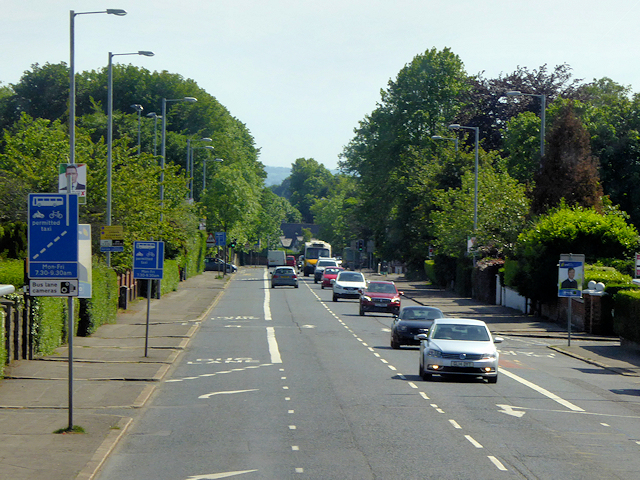
Antrim Road, Belfast
The Antrim Road is a major arterial route and area of housing and commerce that runs from inner city north Belfast to Dunadry. It forms part of the A6 road, a traffic route which links Belfast to Derry.
Loading map... (JavaScript required)
- Grid Square
- J3378, 24 images (more nearby 🔍)
- Photographer
- David Dixon (more nearby)
- Date Taken
- Friday, 26 May, 2017 (more nearby)
- Submitted
- Wednesday, 26 July, 2017
- Subject Location
-
Irish:
 J 332 786 [100m precision]
WGS84: 54:38.2772N 5:56.1917W - Camera Location
-
Irish: J 332 786
- View Direction
- SOUTH (about 180 degrees)