2017
SS2618 : A39 Bend near Lower Deptford
taken 7 years ago, near to Meddon, Devon, England
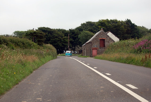
A39 Bend near Lower Deptford
The A39 is one of the longest routes in South West England. It stretches from Bath in Somerset to Falmouth in Cornwall passing some famous historical places including Wells and Glastonbury and touring along the Somerset, Devon and Cornish Coasts, before skirting to the north of Bodmin Moor and crossing the county to the historic port of Falmouth on the southern shore. The section running between the North Devon Link Road at Barnstaple in Devon and the A30 at Fraddon in Cornwall is known as the Atlantic Highway, and was classified as a trunk road until 2002.
See other images of The A39
See other images of The A39
 Map © Crown Copyright")
TIP: Click the map for more Large scale mapping
- Grid Square
- SS2618, 11 images (more nearby 🔍)
- Photographer
- J.Hannan-Briggs (more nearby)
- Contributed by
- Julian P Guffogg (more nearby)
- Date Taken
- Wednesday, 19 July, 2017 (more nearby)
- Submitted
- Thursday, 27 July, 2017
- Subject Location
-
OSGB36:
 SS 2695 1827 [10m precision]
WGS84: 50:56.2704N 4:27.8601W - Camera Location
-
OSGB36: SS 2698 1843
- View Direction
- SOUTH (about 180 degrees)