2017
SD7147 : B6478 on Waddington Fell
taken 7 years ago, 4 km NNW of Waddington, Lancashire, England
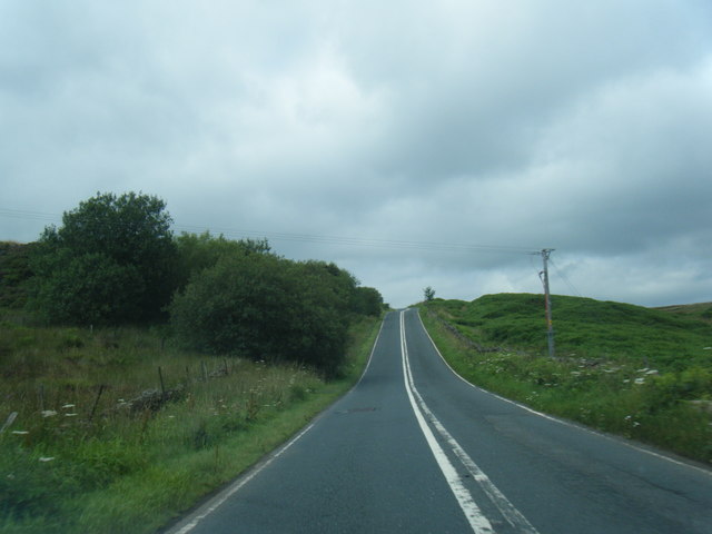
B6478 on Waddington Fell
 Map © Crown Copyright")
TIP: Click the map for more Large scale mapping
- Grid Square
- SD7147, 33 images (more nearby 🔍)
- Photographer
- Colin Pyle (more nearby)
- Date Taken
- Tuesday, 25 July, 2017 (more nearby)
- Submitted
- Thursday, 27 July, 2017
- Subject Location
-
OSGB36:
 SD 7196 4746 [10m precision]
WGS84: 53:55.3507N 2:25.7070W - Camera Location
-
OSGB36: SD 7196 4736
- View Direction
- NORTH (about 0 degrees)