1982
NG8769 : Track through the Abhainn a'Garbh-Choire
taken 42 years ago, 4 km W of Talladale, Highland, Scotland
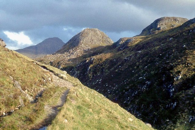
Track through the Abhainn a'Garbh-Choire
This long straight gorge may have carried glacial meltwater. The original fault line is traceable for many miles to the Northwest.
 Map © Crown Copyright")
TIP: Click the map for more Large scale mapping
- Grid Square
- NG8769, 8 images (more nearby 🔍)
- Photographer
- Alan Reid (more nearby)
- Date Taken
- Wednesday, 26 May, 1982 (more nearby)
- Submitted
- Friday, 28 July, 2017
- Subject Location
-
OSGB36:
 NG 8764 6952 [10m precision]
WGS84: 57:39.9187N 5:33.7236W - Camera Location
-
OSGB36: NG 8763 6954
- View Direction
- South-southeast (about 157 degrees)