2017
TF3916 : County Boundary
taken 7 years ago, near to Sutton st James, Lincolnshire, England
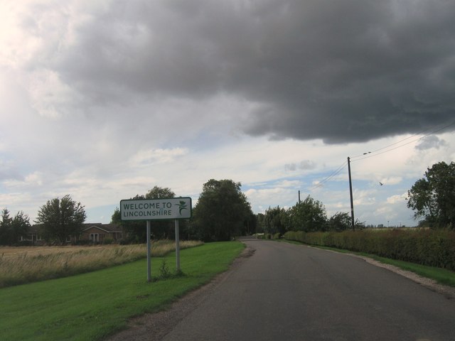
County Boundary
 Map © Crown Copyright")
TIP: Click the map for more Large scale mapping
- Grid Square
- TF3916, 8 images (more nearby 🔍)
- Photographer
- Alex McGregor (more nearby)
- Date Taken
- Thursday, 27 July, 2017 (more nearby)
- Submitted
- Saturday, 29 July, 2017
- Subject Location
-
OSGB36:
 TF 3904 1603 [10m precision]
WGS84: 52:43.4433N 0:3.4397E - Camera Location
-
OSGB36: TF 3905 1602
- View Direction
- West-northwest (about 292 degrees)