2017
TA2736 : Field boundary between Garton and Ringborough
taken 7 years ago, near to Garton, East Riding of Yorkshire, England
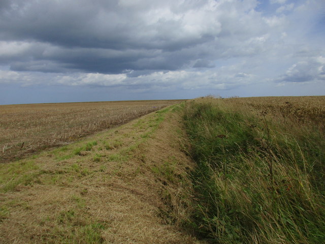
Field boundary between Garton and Ringborough
The horizon is close to the cliff top but this drain when it has water in it drains to the west and ultimately into the Humber many miles away.
 Map © Crown Copyright")
TIP: Click the map for more Large scale mapping
- Grid Square
- TA2736, 25 images (more nearby 🔍)
- Photographer
- Jonathan Thacker (more nearby)
- Date Taken
- Friday, 28 July, 2017 (more nearby)
- Submitted
- Sunday, 30 July, 2017
- Subject Location
-
OSGB36:
 TA 2727 3654 [10m precision]
WGS84: 53:48.5750N 0:4.1192W - Camera Location
-
OSGB36: TA 2721 3653
- View Direction
- EAST (about 90 degrees)