2017
SD6244 : Above Dobson's Brook
taken 7 years ago, near to Chipping, Lancashire, England
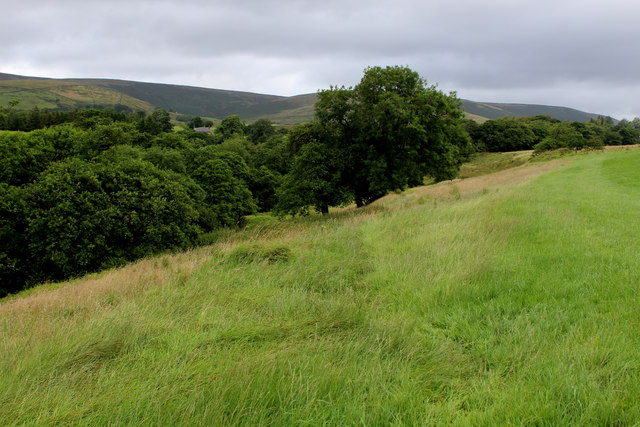
Above Dobson's Brook
Following a footpath northwards above Dobson's Brook
 Map © Crown Copyright")
TIP: Click the map for more Large scale mapping
- Grid Square
- SD6244, 9 images (more nearby 🔍)
- Photographer
- Chris Heaton (more nearby)
- Date Taken
- Friday, 28 July, 2017 (more nearby)
- Submitted
- Monday, 31 July, 2017
- Subject Location
-
OSGB36:
 SD 6206 4423 [10m precision]
WGS84: 53:53.5710N 2:34.7273W - Camera Location
-
OSGB36: SD 6205 4417
- View Direction
- NORTH (about 0 degrees)