2017
NT8011 : Footbridge on Rennies Burn
taken 7 years ago, 3 km from Blindburn, Northumberland, England
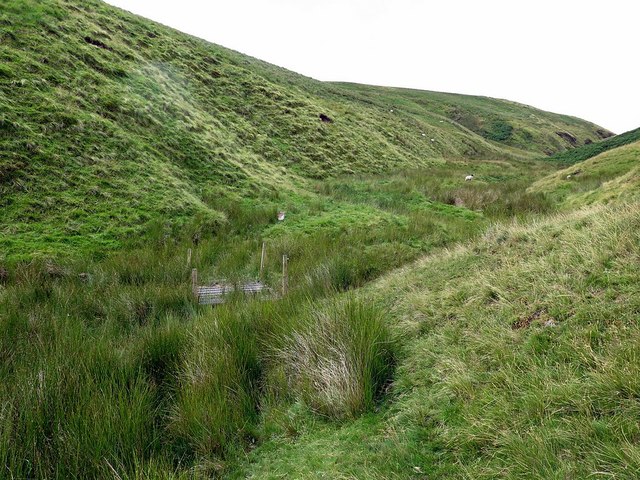
Footbridge on Rennies Burn
 Map © Crown Copyright")
TIP: Click the map for more Large scale mapping
- Grid Square
- NT8011, 18 images (more nearby 🔍)
- Photographer
- Andrew Curtis (more nearby)
- Date Taken
- Monday, 31 July, 2017 (more nearby)
- Submitted
- Tuesday, 1 August, 2017
- Subject Location
-
OSGB36:
 NT 8027 1191 [10m precision]
WGS84: 55:24.0439N 2:18.7853W - Camera Location
-
OSGB36: NT 80337 11906
- View Direction
- West-northwest (about 292 degrees)