2016
NN8397 : Spark gap, Glen Feshie
taken 8 years ago, near to Auchlean, Highland, Scotland
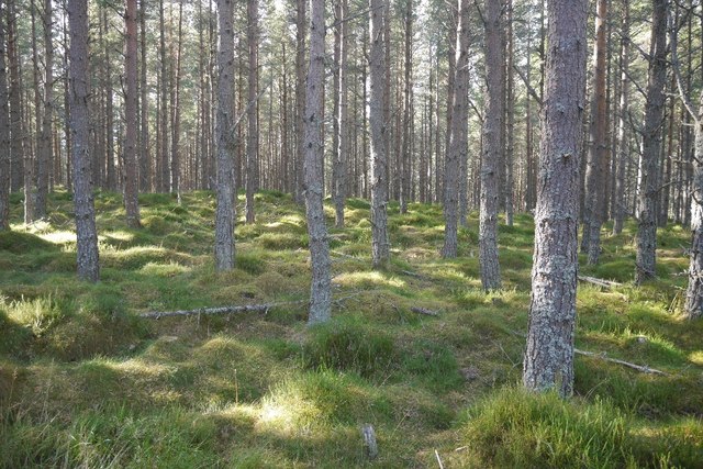
Spark gap, Glen Feshie
The "spark gap" at the end of a logging road. From here a short walk through runnable forest accesses a very fine singletrack path running perpendicular to the road. The path is ignored by the Ordnance Survey but shown on the orienteering map and mountain biking guides. I found no path here but it was for once trivial jumping the gap between paths.
 Map © Crown Copyright")
TIP: Click the map for more Large scale mapping
- Grid Square
- NN8397, 18 images (more nearby 🔍)
- Photographer
- Richard Webb (more nearby)
- Date Taken
- Saturday, 8 October, 2016 (more nearby)
- Submitted
- Thursday, 3 August, 2017
- Subject Location
-
OSGB36:
 NN 8305 9730 [10m precision]
WGS84: 57:3.1125N 3:55.7745W - Camera Location
-
OSGB36: NN 8309 9731
- View Direction
- West-southwest (about 247 degrees)