SU4619 : River Itchen above Stoke Lock
taken 7 years ago, near to Bishopstoke, Hampshire, England
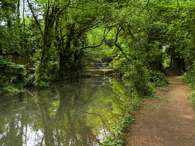
The River Itchen is a river in Hampshire. It flows from mid-Hampshire to join with Southampton Water below the Itchen Bridge in the city of Southampton. The river has a total length of 28 miles, and is noted as one of the world's premier chalk streams for fly fishing, especially using dry fly or nymphing techniques. The local chalk in the earth provides excellent filtration and thus watercress thrives all along the Itchen valley in its once pristine, crystal clear waters, now affected by pollution by some farming practices. It is designated as a Site of Special Scientific Interest and is noted for its high-quality habitats, supporting a range of protected species including the endangered water vole, otter, brook lamprey and white-clawed crayfish.
The river is managed by the Environment Agency, whilst the Port of Southampton is the navigation authority for the tidal section below Swaythling.
 Map © Crown Copyright")
- Grid Square
- SU4619, 176 images (more nearby 🔍)
- Photographer
- David Dixon (more nearby)
- Date Taken
- Wednesday, 31 May, 2017 (more nearby)
- Submitted
- Friday, 4 August, 2017
- Subject Location
-
OSGB36:
 SU 464 194 [100m precision]
WGS84: 50:58.3562N 1:20.4314W - Camera Location
-
OSGB36: SU 463 194
- View Direction
- Southeast (about 135 degrees)