2017
SE7535 : Road Junction on Tottering Lane
taken 7 years ago, near to Gribthorpe, East Riding of Yorkshire, England
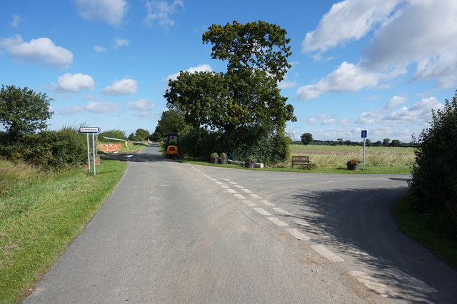
Road Junction on Tottering Lane
 Map © Crown Copyright")
TIP: Click the map for more Large scale mapping
- Grid Square
- SE7535, 19 images (more nearby 🔍)
- Photographer
- Ian S (more nearby)
- Date Taken
- Friday, 4 August, 2017 (more nearby)
- Submitted
- Sunday, 6 August, 2017
- Subject Location
-
OSGB36:
 SE 7528 3522 [10m precision]
WGS84: 53:48.4700N 0:51.4984W - Camera Location
-
OSGB36: SE 7529 3517
- View Direction
- North-northwest (about 337 degrees)