2017
TQ0901 : Oval Waye, Ferring
taken 7 years ago, near to Kingston Gorse, West Sussex, England
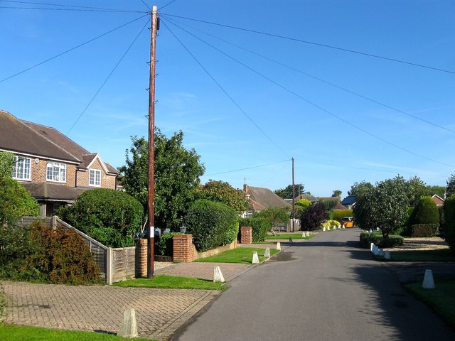
Oval Waye, Ferring
A residential road that runs in a crescent to the west of West Drive. It was developed from the mid 1920s onwards.
 Map © Crown Copyright")
TIP: Click the map for more Large scale mapping
- Grid Square
- TQ0901, 60 images (more nearby 🔍)
- Photographer
- Simon Carey (more nearby)
- Date Taken
- Sunday, 6 August, 2017 (more nearby)
- Submitted
- Monday, 7 August, 2017
- Subject Location
-
OSGB36:
 TQ 0910 0177 [10m precision]
WGS84: 50:48.3135N 0:27.1826W - Camera Location
-
OSGB36: TQ 0912 0173
- View Direction
- North-northwest (about 337 degrees)