2017
SO8103 : The Cotswold Way by the edge of King's Stanley
taken 7 years ago, near to King's Stanley, Gloucestershire, England
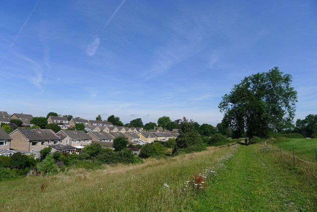
The Cotswold Way by the edge of King's Stanley
Houses lining Guildings Way on the left
 Map © Crown Copyright")
TIP: Click the map for more Large scale mapping
- Grid Square
- SO8103, 129 images (more nearby 🔍)
- Photographer
- Tim Heaton (more nearby)
- Date Taken
- Friday, 7 July, 2017 (more nearby)
- Submitted
- Tuesday, 8 August, 2017
- Subject Location
-
OSGB36:
 SO 8131 0393 [10m precision]
WGS84: 51:44.0259N 2:16.3223W - Camera Location
-
OSGB36: SO 8134 0385
- View Direction
- North-northwest (about 337 degrees)