1987
SD9896 : Above Swaledale near Hunt House
taken 37 years ago, near to Crackpot, North Yorkshire, England
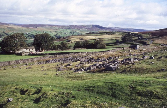
Above Swaledale near Hunt House
Above Swaledale near Hunt House which can be seen on the left. The road from Askrig to Grinton in Swaledale can be seen on the right.
 Map © Crown Copyright")
TIP: Click the map for more Large scale mapping
- Grid Square
- SD9896, 33 images (more nearby 🔍)
- Photographer
- Philip Halling (more nearby)
- Date Taken
- Thursday, 24 September, 1987 (more nearby)
- Submitted
- Tuesday, 8 August, 2017
- Subject Location
-
OSGB36:
 SD 9837 9649 [10m precision]
WGS84: 54:21.8356N 2:1.5954W - Camera Location
-
OSGB36: SD 9825 9641
- View Direction
- East-northeast (about 67 degrees)