2017
TG3814 : Wheat field, South Walsham Marshes
taken 7 years ago, near to Thurne, Norfolk, England
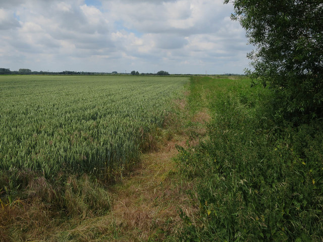
Wheat field, South Walsham Marshes
Arable land on the floodplain of the River Bure.
 Map © Crown Copyright")
TIP: Click the map for more Large scale mapping
- Grid Square
- TG3814, 24 images (more nearby 🔍)
- Photographer
- Hugh Venables (more nearby)
- Date Taken
- Saturday, 17 June, 2017 (more nearby)
- Submitted
- Wednesday, 9 August, 2017
- Subject Location
-
OSGB36:
 TG 3885 1487 [10m precision]
WGS84: 52:40.7304N 1:31.9172E - Camera Location
-
OSGB36: TG 38955 14854
- View Direction
- WEST (about 270 degrees)