2017
NZ2313 : Teesdale Way opposite Manfield Scar
taken 7 years ago, near to Manfield, North Yorkshire, England
This is 1 of 5 images, with title starting with Teesdale Way in this square
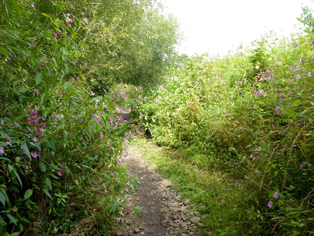
Teesdale Way opposite Manfield Scar
The Teesdale Way is a 148 km long path which runs from Dufton in Cumbria through to the Tees estuary. Here it passes through a patch of Himalayan Balsam which infests riverbanks throughout the country.
 Map © Crown Copyright")
TIP: Click the map for more Large scale mapping
- Grid Square
- NZ2313, 17 images (more nearby 🔍)
- Photographer
- Oliver Dixon (more nearby)
- Date Taken
- Thursday, 10 August, 2017 (more nearby)
- Submitted
- Friday, 11 August, 2017
- Subject Location
-
OSGB36:
 NZ 2349 1355 [10m precision]
WGS84: 54:31.0026N 1:38.3195W - Camera Location
-
OSGB36: NZ 23512 13534
- View Direction
- Northwest (about 315 degrees)