2017
SE1656 : Meagill Lane junction with Hardisty Hill
taken 7 years ago, near to Blubberhouses, North Yorkshire, England
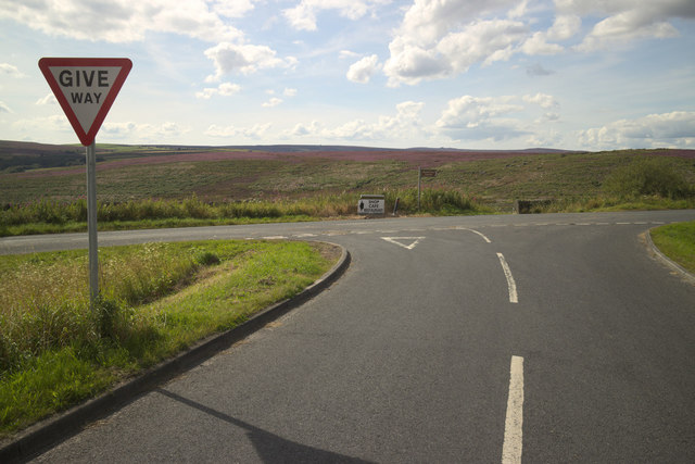
Meagill Lane junction with Hardisty Hill
 Map © Crown Copyright")
TIP: Click the map for more Large scale mapping
- Grid Square
- SE1656, 37 images (more nearby 🔍)
- Photographer
- Mark Anderson (more nearby)
- Date Taken
- Sunday, 13 August, 2017 (more nearby)
- Submitted
- Sunday, 13 August, 2017
- Subject Location
-
OSGB36:
 SE 1682 5695 [10m precision]
WGS84: 54:0.4980N 1:44.6908W - Camera Location
-
OSGB36: SE 1685 5694
- View Direction
- West-northwest (about 292 degrees)