1994
NO0684 : Allt Connie
taken 30 years ago, 5 km S of Muir, Aberdeenshire, Scotland
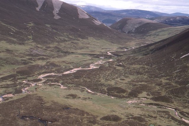
Allt Connie
Looking down from an ascent of Carn Bhac to the confluence of the Allt Connie (l) and Allt Carn Bhathaich (r).
 Map © Crown Copyright")
TIP: Click the map for more Large scale mapping
- Grid Square
- NO0684, 10 images (more nearby 🔍)
- Photographer
- Richard Webb (more nearby)
- Date Taken
- Saturday, 11 June, 1994 (more nearby)
- Submitted
- Tuesday, 15 August, 2017
- Subject Location
-
OSGB36:
 NO 0630 8487 [10m precision]
WGS84: 56:56.7342N 3:32.5109W - Camera Location
-
OSGB36: NO 0615 8454
- View Direction
- North-northeast (about 22 degrees)