2016
SJ2823 : A483 Llynclys Crossroads
taken 8 years ago, near to Llynclys, Shropshire, England
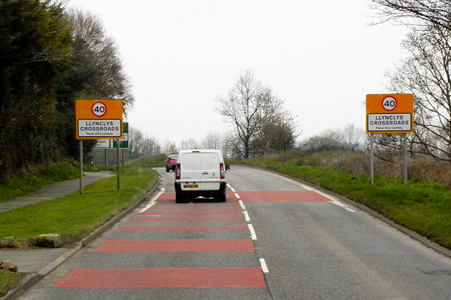
A483 Llynclys Crossroads
Llynclys is a small village which lies to the north of Pant at the crossroads of the A483 and B4396.
 Map © Crown Copyright")
TIP: Click the map for more Large scale mapping
- Grid Square
- SJ2823, 35 images (more nearby 🔍)
- Photographer
- David Dixon (more nearby)
- Date Taken
- Friday, 15 April, 2016 (more nearby)
- Submitted
- Saturday, 19 August, 2017
- Subject Location
-
OSGB36:
 SJ 281 238 [100m precision]
WGS84: 52:48.4329N 3:4.0296W - Camera Location
-
OSGB36: SJ 281 237
- View Direction
- North-northeast (about 22 degrees)