2017
SO1911 : South side of an A467 footbridge, Brynmawr
taken 7 years ago, near to Brynmawr, Blaenau Gwent, Wales
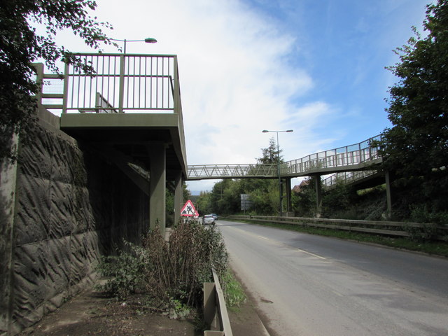
South side of an A467 footbridge, Brynmawr
Old maps show that the A467 here follows the route of a dismantled railway.
 Map © Crown Copyright")
TIP: Click the map for more Large scale mapping
- Grid Square
- SO1911, 311 images (more nearby 🔍)
- Photographer
- Jaggery (more nearby)
- Date Taken
- Friday, 18 August, 2017 (more nearby)
- Submitted
- Saturday, 19 August, 2017
- Subject Location
-
OSGB36:
 SO 1947 1172 [10m precision]
WGS84: 51:47.8984N 3:10.1513W - Camera Location
-
OSGB36: SO 1945 1168
- View Direction
- North-northeast (about 22 degrees)