2017
TA2034 : Track to Greenfield Farm
taken 7 years ago, near to Sproatley, East Riding of Yorkshire, England
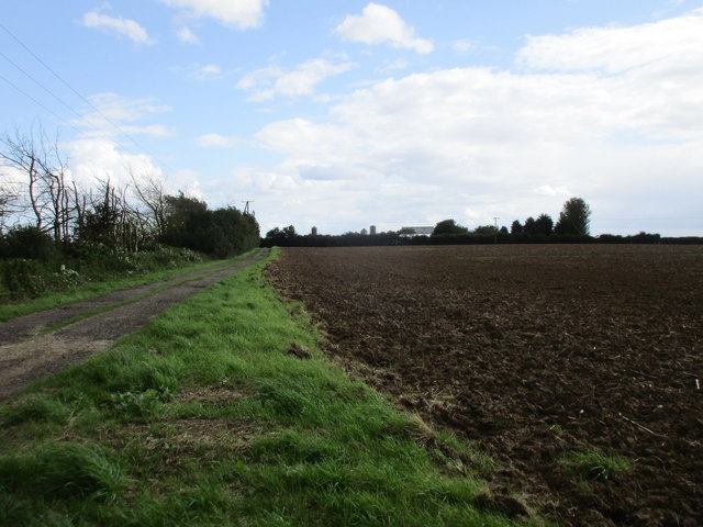
Track to Greenfield Farm
The trees on the left have been severely hacked to prevent them catching the overhead cables.
 Map © Crown Copyright")
TIP: Click the map for more Large scale mapping
- Grid Square
- TA2034, 17 images (more nearby 🔍)
- Photographer
- Jonathan Thacker (more nearby)
- Date Taken
- Saturday, 19 August, 2017 (more nearby)
- Submitted
- Saturday, 19 August, 2017
- Subject Location
-
OSGB36:
 TA 2024 3486 [10m precision]
WGS84: 53:47.7697N 0:10.5606W - Camera Location
-
OSGB36: TA 2018 3494
- View Direction
- Southeast (about 135 degrees)