2005
TQ7618 : Footpath through wood by river Line, Whatlington
taken 19 years ago, near to Whatlington, East Sussex, England
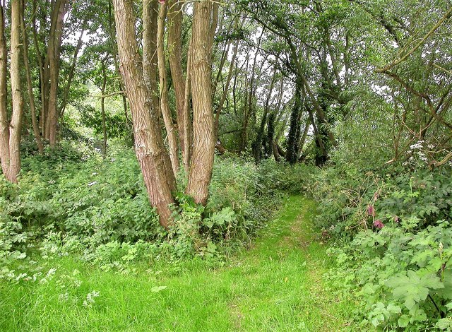
Footpath through wood by river Line, Whatlington
This is the public footpath that follows the river Line from Whatlington Road to the A21 near the junction with Marley Lane, a distance of about 1 mile.
 Map © Crown Copyright")
TIP: Click the map for more Large scale mapping
- Grid Square
- TQ7618, 81 images (more nearby 🔍)
- Photographer
- Patrick Roper (more nearby)
- Date Taken
- Sunday, 5 June, 2005 (more nearby)
- Submitted
- Tuesday, 22 August, 2017
- Subject Location
-
OSGB36:
 TQ 7643 1824 [10m precision]
WGS84: 50:56.1970N 0:30.5782E - Camera Location
-
OSGB36: TQ 7642 1825
- View Direction
- South-southeast (about 157 degrees)