2017
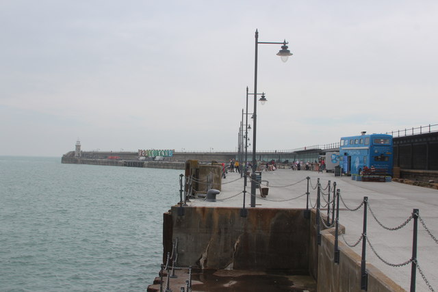
TR2335 : Folkestone Harbour Arm
taken 9 years ago, near to Folkestone, Kent, England
This is 1 of 13 images, with title Folkestone Harbour Arm in this square
Folkestone Harbour Arm
Redevelopment of Folkestone Harbour, Harbour arm, station, industrial area and former Rotunda amusement park site.
For more information Link
See other images of Folkestone seafront redevelopment
For more information Link
See other images of Folkestone seafront redevelopment


TIP: Click the map for more Large scale mapping
- Grid Square
- TR2335, 695 images (more nearby 🔍)
- Photographer
- Oast House Archive (more nearby)
- Date Taken
- Tuesday, 22 August, 2017 (more nearby)
- Submitted
- Sunday, 27 August, 2017
- Subject Location
-
OSGB36:
 TR 236 356
[100m precision]
WGS84: 51:4.6159N 1:11.4776E - Camera Location
-
OSGB36:
TR 235 357
- View Direction
- Southeast (about 135 degrees)


