2017
TQ0116 : Sandy Lane
taken 7 years ago, near to Watersfield, West Sussex, England
This is 1 of 2 images, with title Sandy Lane in this square
Sandy Lane
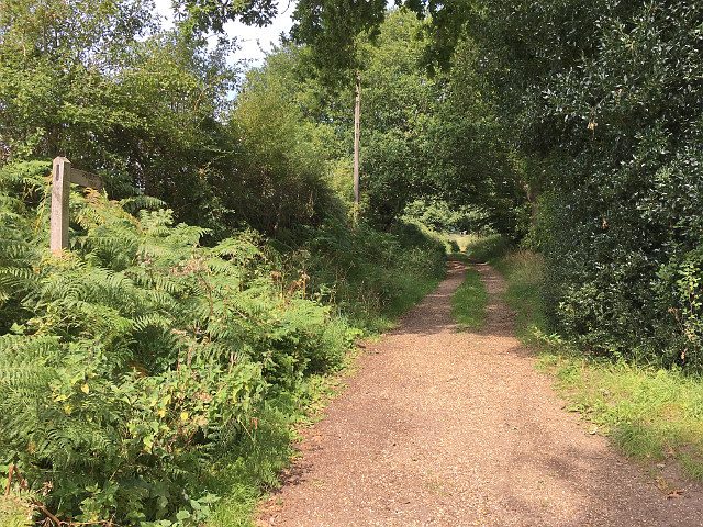
Sandy Lane, a partly unsealed public road between Watersfield and Waltham Park Road. The road is signposted on the left as a 'public way'.
 Map © Crown Copyright")
TIP: Click the map for more Large scale mapping
- Grid Square
- TQ0116, 25 images (more nearby 🔍)
- Photographer
- Hugh Craddock (more nearby)
- Date Taken
- Monday, 28 August, 2017 (more nearby)
- Submitted
- Tuesday, 29 August, 2017
- Subject Location
-
OSGB36:
 TQ 0133 1622 [10m precision]
WGS84: 50:56.1920N 0:33.5566W - Camera Location
-
OSGB36: TQ 0134 1617
- View Direction
- North-northwest (about 337 degrees)