2017
TQ0805 : France Field (1)
taken 7 years ago, near to Patching, West Sussex, England
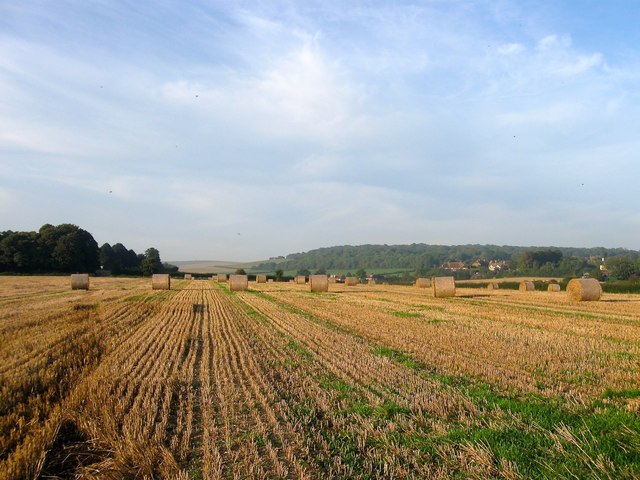
France Field (1)
The name of the field according to Patching's 1847 tithe map that is bounded by TQ0806 : Clapham Field to the north, TQ0805 : Long Mead (2) to the east and TQ0805 : Chalcroft Field and TQ0806 : Silvester Mead Croft to the west. This is the northern portion, see TQ0805 : France Field (2) for the southern part. Clapham Wood can be seen in the distance.
 Map © Crown Copyright")
TIP: Click the map for more Large scale mapping
- Grid Square
- TQ0805, 60 images (more nearby 🔍)
- Photographer
- Simon Carey (more nearby)
- Date Taken
- Monday, 28 August, 2017 (more nearby)
- Submitted
- Saturday, 2 September, 2017
- Subject Location
-
OSGB36:
 TQ 0879 0598 [10m precision]
WGS84: 50:50.5877N 0:27.3717W - Camera Location
-
OSGB36: TQ 0877 0592
- View Direction
- North-northeast (about 22 degrees)