2017
TQ0805 : Fourteen Acres
taken 7 years ago, near to Patching, West Sussex, England
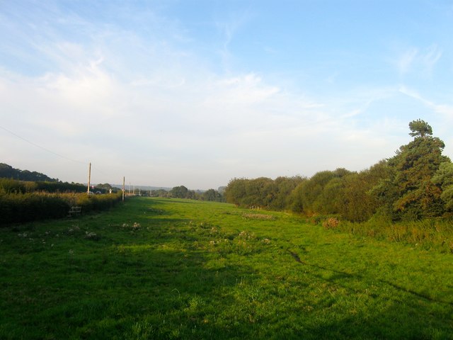
Fourteen Acres
The name of the field according to Angmering's 1839 tithe map that is located to the east of Water Lane.
 Map © Crown Copyright")
TIP: Click the map for more Large scale mapping
- Grid Square
- TQ0805, 60 images (more nearby 🔍)
- Photographer
- Simon Carey (more nearby)
- Date Taken
- Monday, 28 August, 2017 (more nearby)
- Submitted
- Saturday, 2 September, 2017
- Subject Location
-
OSGB36:
 TQ 0836 0522 [10m precision]
WGS84: 50:50.1826N 0:27.7514W - Camera Location
-
OSGB36: TQ 0816 0508
- View Direction
- Northeast (about 45 degrees)