2017
TQ0578 : Fray's River by Cricketfield Road
taken 7 years ago, near to West Drayton, Hillingdon, England
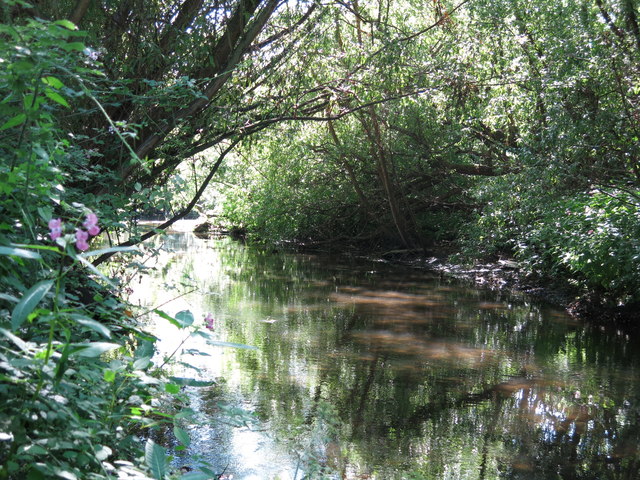
Fray's River by Cricketfield Road
 Map © Crown Copyright")
TIP: Click the map for more Large scale mapping
- Grid Square
- TQ0578, 39 images (more nearby 🔍)
- Photographer
- Mike Quinn (more nearby)
- Date Taken
- Wednesday, 5 July, 2017 (more nearby)
- Submitted
- Monday, 4 September, 2017
- Subject Location
-
OSGB36:
 TQ 0536 7896 [10m precision]
WGS84: 51:29.9861N 0:29.0117W - Camera Location
-
OSGB36: TQ 0539 7897
- View Direction
- West-southwest (about 247 degrees)