2007
NN7283 : Peat hags south of Meall Odhar Mor with An Dun in the distance
taken 17 years ago, near to Meall Odhar Mòr [hill or Mountain], Highland, Great Britain
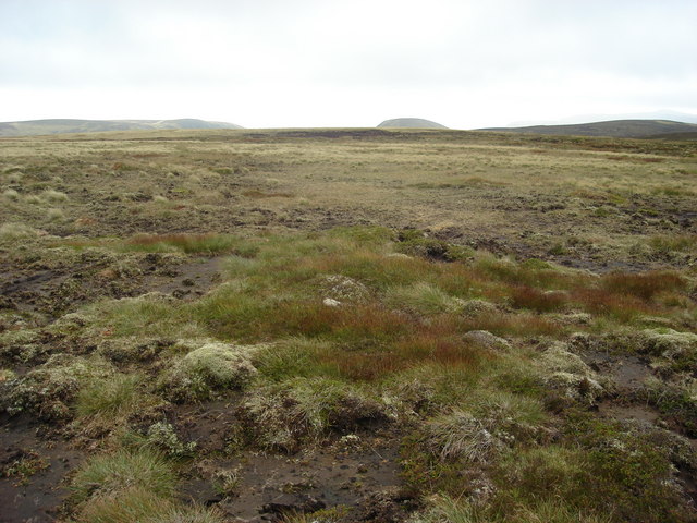
Peat hags south of Meall Odhar Mor with An Dun in the distance
 Map © Crown Copyright")
TIP: Click the map for more Large scale mapping
- Grid Square
- NN7283 (more nearby 🔍)
- Photographer
- John McLuckie (more nearby)
- Date Taken
- Sunday, 9 September, 2007 (more nearby)
- Submitted
- Tuesday, 11 September, 2007
- Subject Location
-
OSGB36:
 NN 722 837 [100m precision]
WGS84: 56:55.6524N 4:6.0574W - Camera Location
-
OSGB36: NN 722 839
- View Direction
- SOUTH (about 180 degrees)