2005
NH6648 : Inner Moray Firth Shore Line
taken 19 years ago, near to North Kessock, Highland, Scotland
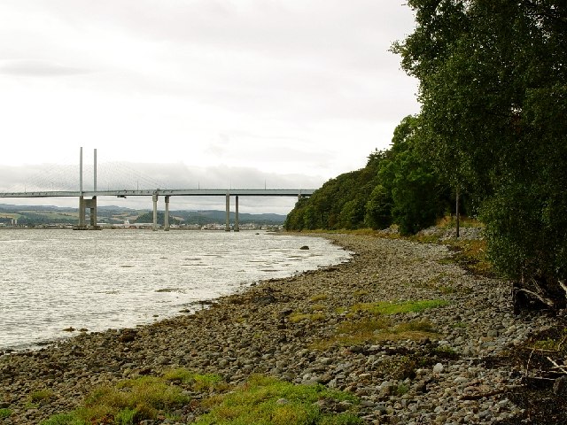
Inner Moray Firth Shore Line
Kessock Bridge can be seen in the background and is grid ref NH6647
 Map © Crown Copyright")
TIP: Click the map for more Large scale mapping
- Grid Square
- NH6648, 56 images (more nearby 🔍)
- Photographer
- Ivor MacKenzie (more nearby)
- Date Taken
- Sunday, 18 September, 2005 (more nearby)
- Submitted
- Monday, 19 September, 2005
- Subject Location
-
OSGB36:
 NH 66 48 [1000m precision]
WGS84: 57:30.4172N 4:13.7890W - Camera Location
-
OSGB36: NH 665 487