2017
TQ5592 : Approach to Dagnam Park
taken 7 years ago, near to Noak Hill, Havering, England
Approach to Dagnam Park
Most of the grounds of Dagnam Park were originally part of the Dagnam Estate, former home of the Wrights who lived here from 1600 to 1750, and later of the Neaves. At the northern end is the site of the original mansion, described by Samuel Pepys in 1665 as the most noble and pretty house for its size he had ever seen. An impression of its size can be seen from the fact that it had 24 hearths and was built round a courtyard with a square moat. It was demolished in the 1950s following vandalism.
Dagnam Park was bought in 1947 along with the surrounding land by the London County Council for the building of the Harold Hill Estate between 1948 and 1958.
Much fuller accounts of the history can be seen at Link and Link This southern part is known as The Manor Nature Reserve.
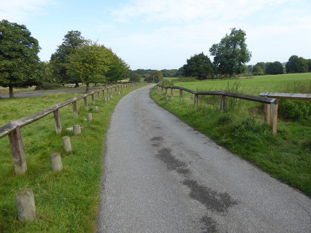
This is the approach to the park from the south leading from Settle Road.
Dagnam Park was bought in 1947 along with the surrounding land by the London County Council for the building of the Harold Hill Estate between 1948 and 1958.
Much fuller accounts of the history can be seen at Link
This is the approach to the park from the south leading from Settle Road.
 Map © Crown Copyright")
TIP: Click the map for more Large scale mapping
- Grid Square
- TQ5592, 15 images (more nearby 🔍)
- Photographer
- Marathon (more nearby)
- Date Taken
- Wednesday, 6 September, 2017 (more nearby)
- Submitted
- Thursday, 7 September, 2017
- Subject Location
-
OSGB36:
 TQ 5508 9279 [10m precision]
WGS84: 51:36.7550N 0:14.3017E - Camera Location
-
OSGB36: TQ 5509 9273
- View Direction
- NORTH (about 0 degrees)