2017
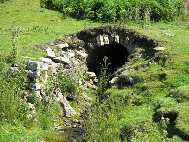
NY9428 : Old level at Marlbeck lead mine
taken 7 years ago, 3 km from Middleton-in-Teesdale, County Durham, England
 Map © Crown Copyright")
TIP: Click the map for more Large scale mapping
- Grid Square
- NY9428, 78 images (more nearby 🔍)
- Photographer
- Mike Quinn (more nearby)
- Date Taken
- Monday, 17 July, 2017 (more nearby)
- Submitted
- Tuesday, 12 September, 2017
- Subject Location
-
OSGB36:
 NY 9497 2872 [10m precision]
WGS84: 54:39.2131N 2:4.7686W - Camera Location
-
OSGB36: NY 9497 2872
- View Direction
- Northeast (about 45 degrees)