2017
SP1667 : Barley by the Heart of England Way
taken 7 years ago, near to Preston Bagot, Warwickshire, England
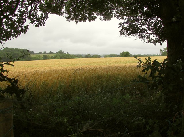
Barley by the Heart of England Way
From the Way on the other side of a fence southwest of Holly Bank Farm.
 Map © Crown Copyright")
TIP: Click the map for more Large scale mapping
- Grid Square
- SP1667, 15 images (more nearby 🔍)
- Photographer
- Derek Harper (more nearby)
- Date Taken
- Wednesday, 28 June, 2017 (more nearby)
- Submitted
- Thursday, 14 September, 2017
- Subject Location
-
OSGB36:
 SP 1695 6711 [10m precision]
WGS84: 52:18.1112N 1:45.1711W - Camera Location
-
OSGB36: SP 1699 6717
- View Direction
- South-southwest (about 202 degrees)