2007
NX6389 : Sheep graze on an unnamed knoll
taken 17 years ago, 3 km from Glenhoul, Dumfries And Galloway, Scotland
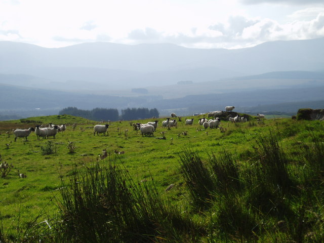
Sheep graze on an unnamed knoll
The Cairn shown on OS maps at this location seems to have disappeared! The grey line of hills in the bfar distance are the Rhinns of Kells.
 Map © Crown Copyright")
TIP: Click the map for more Large scale mapping
- Grid Square
- NX6389, 7 images (more nearby 🔍)
- Photographer
- Bob Peace (more nearby)
- Date Taken
- Wednesday, 12 September, 2007 (more nearby)
- Submitted
- Wednesday, 12 September, 2007
- Subject Location
-
OSGB36:
 NX 633 894 [100m precision]
WGS84: 55:10.8393N 4:8.8978W - Camera Location
-
OSGB36: NX 633 895
- View Direction
- West-southwest (about 247 degrees)