1972
ST7593 : The Hugh Perry Alms Houses
taken 52 years ago, near to Wotton-Under-Edge, Gloucestershire, England
This is 1 of 3 images, with title The Hugh Perry Alms Houses in this square
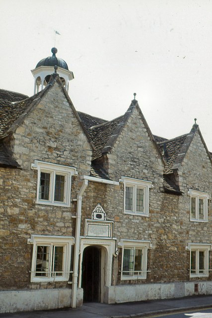
The Hugh Perry Alms Houses
Viewed from Church Street.
 Map © Crown Copyright")
TIP: Click the map for more Large scale mapping
- Grid Square
- ST7593, 314 images (more nearby 🔍)
- Photographer
- Peter Jeffery (more nearby)
- Date Taken
- Friday, 28 July, 1972 (more nearby)
- Submitted
- Monday, 18 September, 2017
- Subject Location
-
OSGB36:
 ST 7587 9329 [10m precision]
WGS84: 51:38.2735N 2:21.0043W - Camera Location
-
OSGB36: ST 7586 9330
- View Direction
- Southeast (about 135 degrees)