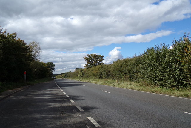
TF7909 : The A47 at Swaffham
taken 7 years ago, 3 km from Swaffham, Norfolk, England
Swaffham is a market town and civil parish in the county of Norfolk. The town is situated 12 miles east of King's Lynn and 31 miles west of Norwich.
The civil parish has an area of 11.42 sq miles and in the 2001 census had a population of 6,935 in 3,130 households, increasing to a population of 7,258 in 3,258 households at the 2011 Census. For the purposes of local government, the parish falls within the district of Breckland.
The A47 is a key trunk road connecting Great Yarmouth, on the east coast of Norfolk, to the city of Birmingham in the West Midlands; a distance of 182 miles. However, most of the 17-mile-long section between Nuneaton and Castle Bromwich which was part of the original route has now been reclassified as the B4114.
The A47 is partly a holiday road, through West Midlands, Warwickshire, Leicestershire, Rutland, Cambridgeshire, and Norfolk, since it ends in Great Yarmouth, a tourist destination with a beach. On the way it passes the city of Norwich and the Norfolk Broads, both popular tourist destinations in their own right. Its other main function is the transport of goods by road to and from the A1 into Norfolk, North Suffolk and the ports at Great Yarmouth and Lowestoft.
LinkRoader's Digest: The SABRE Wiki
 Map © Crown Copyright")
- Grid Square
- TF7909, 10 images (more nearby 🔍)
- Photographer
- Geographer (more nearby)
- Date Taken
- Tuesday, 19 September, 2017 (more nearby)
- Submitted
- Wednesday, 20 September, 2017
- Subject Location
-
OSGB36:
 TF 79441 09493 [1m precision]
WGS84: 52:39.2084N 0:39.0819E - Camera Location
-
OSGB36: TF 79441 09493
- View Direction
- WEST (about 270 degrees)