2017
TF1667 : Bridleway from Hale Road to Bucknall
taken 7 years ago, near to Bucknall, Lincolnshire, England
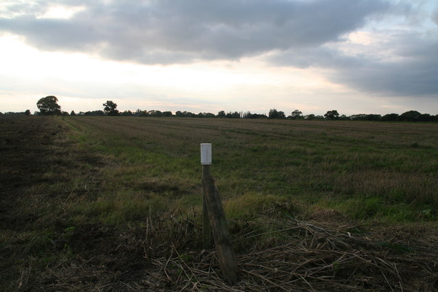
Bridleway from Hale Road to Bucknall
 Map © Crown Copyright")
TIP: Click the map for more Large scale mapping
- Grid Square
- TF1667, 8 images (more nearby 🔍)
- Photographer
- Chris (more nearby)
- Date Taken
- Wednesday, 20 September, 2017 (more nearby)
- Submitted
- Wednesday, 20 September, 2017
- Subject Location
-
OSGB36:
 TF 1697 6773 [10m precision]
WGS84: 53:11.6280N 0:15.0380W - Camera Location
-
OSGB36: TF 1699 6772
- View Direction
- West-northwest (about 292 degrees)