2017
SD8044 : Field near Twiston Beck, Lancs
taken 7 years ago, near to Rimington, Lancashire, England
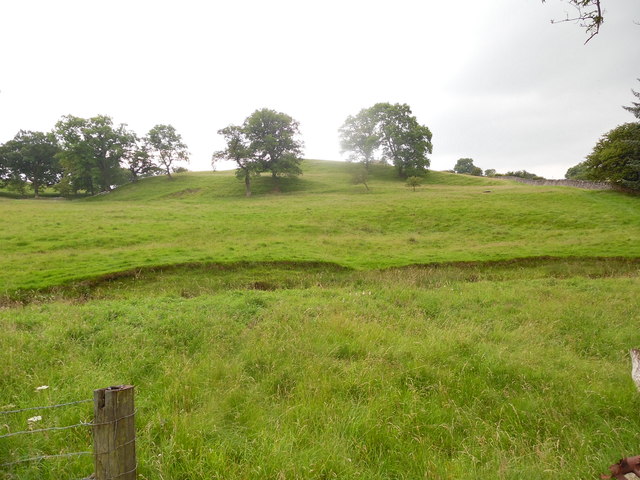
Field near Twiston Beck, Lancs
This photo shows a sloping field looking West from Twiston Beck. I remember camping with fellow Scouts in this field in the Summer of 1979.
 Map © Crown Copyright")
TIP: Click the map for more Large scale mapping
- Grid Square
- SD8044, 30 images (more nearby 🔍)
- Photographer
- David Hillas (more nearby)
- Date Taken
- Wednesday, 19 July, 2017 (more nearby)
- Submitted
- Monday, 25 September, 2017
- Subject Location
-
OSGB36:
 SD 8027 4465 [10m precision]
WGS84: 53:53.8585N 2:18.1041W - Camera Location
-
OSGB36: SD 8034 4469
- View Direction
- West-southwest (about 247 degrees)