2017
TF8113 : Roadsign on the A1065 Main Road
taken 7 years ago, near to South Acre, Norfolk, England
This is 1 of 2 images, with title Roadsign on the A1065 Main Road in this square
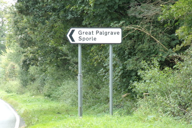
Roadsign on the A1065 Main Road
A1065 Road
The A1065 is an important route through the centre of Norfolk. It starts on the infamous Five Ways roundabout at Barton Mills, leaving the A11, and heads up through countryside for nearly 40 miles, crossing the A47 at Swaffham en route, until it ends on the A148 just outside Fakenham.
 Map © Crown Copyright")
TIP: Click the map for more Large scale mapping
- Grid Square
- TF8113, 39 images (more nearby 🔍)
- Photographer
- Geographer (more nearby)
- Date Taken
- Tuesday, 19 September, 2017 (more nearby)
- Submitted
- Friday, 29 September, 2017
- Subject Location
-
OSGB36:
 TF 81799 13100 [1m precision]
WGS84: 52:41.1047N 0:41.2903E - Camera Location
-
OSGB36: TF 81793 13147
- View Direction
- SOUTH (about 180 degrees)