2017
TQ5643 : The Wealdway
taken 7 years ago, near to Bidborough, Kent, England
This is 1 of 3 images, with title The Wealdway in this square
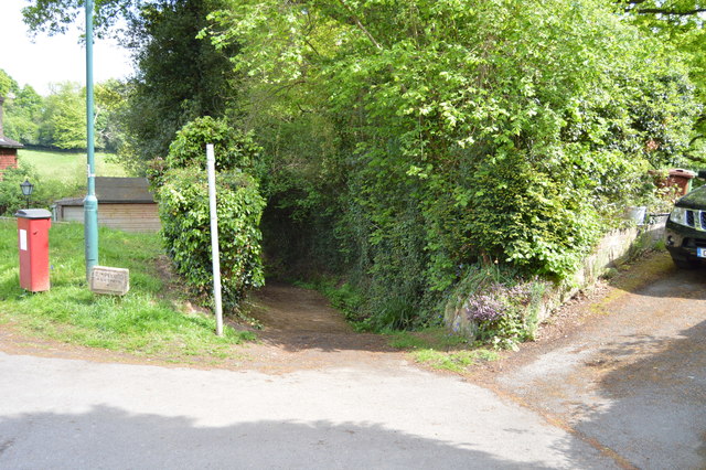
The Wealdway
The Wealdway is a long distance path that runs from Gravesend, Kent on the Thames estuary, to the A259 at Eastbourne, in East Sussex. The Wealdway was conceived in 1970 by members of the Ramblers' Association as a route through the Kentish and Sussex Weald, providing a link between the routes north of the Thames and the start of the South Downs Way. It would also provide a return circuit for users of the Saxon Shore Way. Motorway construction work and the building of the Tonbridge Flood Relief Barrier forced many changes to the original route.
It is marked by double yellow 'W's along the route - see TQ6561 : Crossover in Long Distance pathways.
See Link for more details.
See other images of The Wealdway
It is marked by double yellow 'W's along the route - see TQ6561 : Crossover in Long Distance pathways.
See Link
See other images of The Wealdway
 Map © Crown Copyright")
TIP: Click the map for more Large scale mapping
- Grid Square
- TQ5643, 280 images (more nearby 🔍)
- Photographer
- N Chadwick (more nearby)
- Date Taken
- Sunday, 14 May, 2017 (more nearby)
- Submitted
- Monday, 2 October, 2017
- Subject Location
-
OSGB36:
 TQ 5665 4307 [10m precision]
WGS84: 51:9.9258N 0:14.3460E - Camera Location
-
OSGB36: TQ 5665 4307
- View Direction
- East-southeast (about 112 degrees)