2017
SX2552 : Mouth of the River Looe
taken 7 years ago, near to East Looe, Cornwall, England
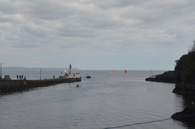
Mouth of the River Looe
The River Looe is a river in south-east Cornwall, which flows into the English Channel at Looe. It has two main branches, the East Looe River and the West Looe River. The eastern branch has its source near St Cleer only 0.31 miles away from the Golitha Falls on the River Fowey, and flows south, passing close to the western outskirts of Liskeard. The western branch has its source near Dobwalls.
South of Liskeard, the Looe Valley Line railway follows the course of the East Looe River to Looe. The railway is so close to the river that flooding is a common occurrence.
The lowest stretch of the rivers combine to form the tidal harbour and estuary of Looe. The combined length of the two rivers (including the tidal confluence) is 30 miles
See other images of River Looe
 Map © Crown Copyright")
TIP: Click the map for more Large scale mapping
- Grid Square
- SX2552, 116 images (more nearby 🔍)
- Photographer
- N Chadwick (more nearby)
- Date Taken
- Saturday, 22 April, 2017 (more nearby)
- Submitted
- Monday, 2 October, 2017
- Subject Location
-
OSGB36:
 SX 2570 5295 [10m precision]
WGS84: 50:21.0360N 4:27.0816W - Camera Location
-
OSGB36: SX 2549 5307
- View Direction
- East-southeast (about 112 degrees)