2017
SZ5091 : Public path, River Medina estuary
taken 7 years ago, near to Parkhurst, Isle of Wight, England
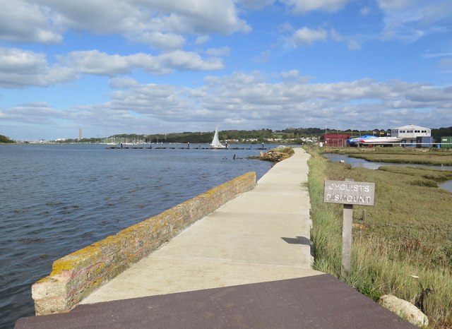
Public path, River Medina estuary
The stretch of Medina Greenway N120 near Island Harbour.
 Map © Crown Copyright")
TIP: Click the map for more Large scale mapping
- Grid Square
- SZ5091, 44 images (more nearby 🔍)
- Photographer
- Paul Coueslant (more nearby)
- Date Taken
- Tuesday, 3 October, 2017 (more nearby)
- Submitted
- Tuesday, 3 October, 2017
- Subject Location
-
OSGB36:
 SZ 5087 9190 [10m precision]
WGS84: 50:43.4702N 1:16.8410W - Camera Location
-
OSGB36: SZ 5084 9182
- View Direction
- North-northeast (about 22 degrees)