2017
TQ2065 : The Hogsmill River: view upstream
taken 7 years ago, near to Tolworth, Kingston Upon Thames, England
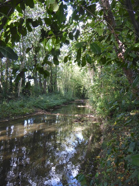
The Hogsmill River: view upstream
Flow is so sluggish along this stretch that I had to check with the map to determine which way was upstream and which down.
 Map © Crown Copyright")
TIP: Click the map for more Large scale mapping
- Grid Square
- TQ2065, 89 images (more nearby 🔍)
- Photographer
- Stefan Czapski (more nearby)
- Date Taken
- Thursday, 5 October, 2017 (more nearby)
- Submitted
- Thursday, 5 October, 2017
- Subject Location
-
OSGB36:
 TQ 2091 6555 [10m precision]
WGS84: 51:22.5683N 0:15.8511W - Camera Location
-
OSGB36: TQ 2089 6550
- View Direction
- North-northeast (about 22 degrees)