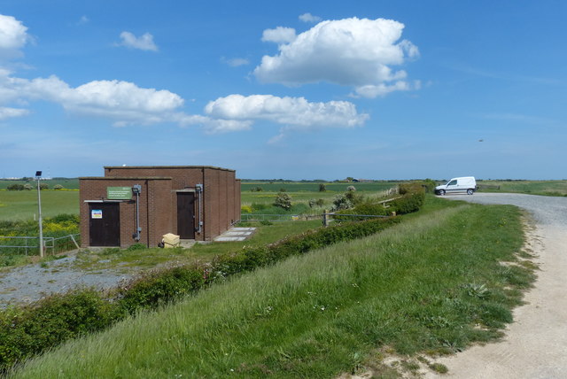
TA3618 : Skeffling Pumping Station
taken 7 years ago, near to Skeffling, East Riding of Yorkshire, England
The Humber is a large tidal estuary on the east coast of Northern England. It is formed at Trent Falls, Faxfleet, by the confluence of the tidal rivers Ouse and Trent. From here to the North Sea, it forms part of the boundary between the East Riding of Yorkshire on the north bank and North Lincolnshire and North East Lincolnshire on the south bank. Although the Humber is an estuary from the point at which it is formed, many maps show it as the River Humber.
Below Trent Falls, the Humber passes the confluence of the River Ancholme on the south shore; between North Ferriby and South Ferriby and under the Humber Bridge; between Barton-upon-Humber on the south bank and Kingston upon Hull on the north bank (where the River Hull joins), then meets the North Sea between Cleethorpes on the Lincolnshire side and the long and thin (but rapidly changing) headland of Spurn Head to the north.
Ports on the Humber include Kingston upon Hull (better known as simply Hull), Grimsby, Immingham, New Holland and Killingholme. The estuary is navigable here for the largest of deep-sea vessels.
 Map © Crown Copyright")
- Grid Square
- TA3618, 42 images (more nearby 🔍)
- Photographer
- Mat Fascione (more nearby)
- Date Taken
- Tuesday, 23 May, 2017 (more nearby)
- Submitted
- Saturday, 7 October, 2017
- Subject Location
-
OSGB36:
 TA 369 183 [100m precision]
WGS84: 53:38.6243N 0:4.2216E - Camera Location
-
OSGB36: TA 369 183
- View Direction
- EAST (about 90 degrees)