2017
SK3119 : The edge of Woodville
taken 7 years ago, near to Woodville, Derbyshire, England
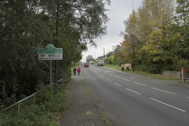
The edge of Woodville
Woodville is one of several villages in this area named after raw materials, Iron and Coal are other similarly named villages. The whole area is a former mining area but the mines are long gone.
 Map © Crown Copyright")
TIP: Click the map for more Large scale mapping
- Grid Square
- SK3119, 16 images (more nearby 🔍)
- Photographer
- Malcolm Neal (more nearby)
- Date Taken
- Wednesday, 11 October, 2017 (more nearby)
- Submitted
- Wednesday, 11 October, 2017
- Subject Location
-
OSGB36:
 SK 3178 1957 [10m precision]
WGS84: 52:46.3675N 1:31.8224W - Camera Location
-
OSGB36: SK 3184 1963
- View Direction
- Southwest (about 225 degrees)