2017
TQ0714 : B2139, Amberley Rd
taken 7 years ago, near to Storrington, West Sussex, England
This is 1 of 2 images, with title B2139, Amberley Rd in this square
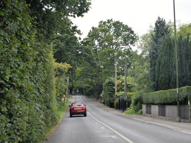
B2139, Amberley Rd
The B2139 runs 12 miles across West Sussex, from Coolham to Whiteways Lodge, via Storrington.
Link
See other images of B2139 Road
Link
See other images of B2139 Road
 Map © Crown Copyright")
TIP: Click the map for more Large scale mapping
- Grid Square
- TQ0714, 42 images (more nearby 🔍)
- Photographer
- N Chadwick (more nearby)
- Date Taken
- Friday, 23 June, 2017 (more nearby)
- Submitted
- Sunday, 15 October, 2017
- Subject Location
-
OSGB36:
 TQ 0787 1417 [10m precision]
WGS84: 50:55.0153N 0:28.0105W - Camera Location
-
OSGB36: TQ 0791 1419
- View Direction
- West-southwest (about 247 degrees)