2007
NH7434 : Wade Road
taken 17 years ago, 3 km from Moy, Highland, Scotland
This is 1 of 2 images, with title Wade Road in this square
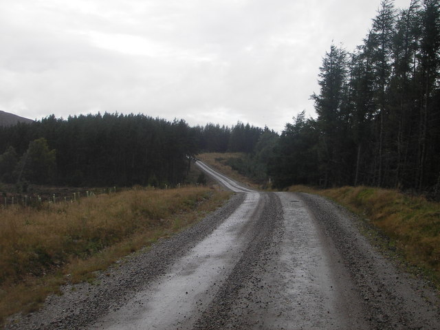
Wade Road
General Wade's military road has been 'improved' here to allow heavy vehicles access to the new wind farm at Farr.
 Map © Crown Copyright")
TIP: Click the map for more Large scale mapping
- Grid Square
- NH7434, 18 images (more nearby 🔍)
- Photographer
- Mark Thomas (more nearby)
- Date Taken
- Saturday, 15 September, 2007 (more nearby)
- Submitted
- Sunday, 16 September, 2007
- Subject Location
-
OSGB36:
 NH 745 344 [100m precision]
WGS84: 57:22.9711N 4:5.3506W - Camera Location
-
OSGB36: NH 746 344
- View Direction
- WEST (about 270 degrees)